1990/2000s Housing Estate - Chapman Road, Maidenbower Neighbourhood of Crawley, West Sussex
Introduction
The photograph on this page of 1990/2000s Housing Estate - Chapman Road, Maidenbower Neighbourhood of Crawley, West Sussex by Pete Chapman as part of the Geograph project.
The Geograph project started in 2005 with the aim of publishing, organising and preserving representative images for every square kilometre of Great Britain, Ireland and the Isle of Man.

There are currently over 7.5m images from over 14,400 individuals and you can help contribute to the project by visiting https://www.geograph.org.uk
1990/2000s Housing Estate - Chapman Road, Maidenbower Neighbourhood of Crawley, West Sussex
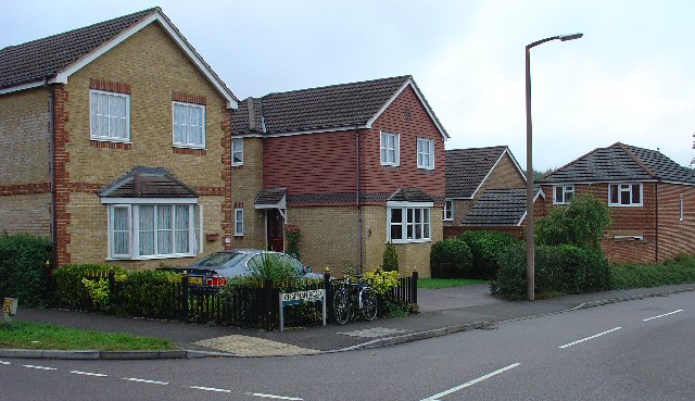
Image: © Pete Chapman Taken: 15 Sep 2005
The newest of Crawleys "Neighbourhood" areas. This part of Maidenbower was built on the site of Worth Forest and spreads into the NW corner of this grid square. As was the fashion at the time, the houses on this housing estate are built to appear slightly different from their immediate neighbours. Amazing how many detached/semi-detached houses can fit in such a small area! The photo shows the street name sign in front of the car. All the street name signs in Crawley are of this general pattern (see supplemental photo for details).
Images are licensed for reuse under creativecommons.org/licenses/by-sa/2.0
Image Location
Latitude
51.096206
Longitude
-0.15915