Borretts Farm Lane
Introduction
The photograph on this page of Borretts Farm Lane by Derek Harper as part of the Geograph project.
The Geograph project started in 2005 with the aim of publishing, organising and preserving representative images for every square kilometre of Great Britain, Ireland and the Isle of Man.

There are currently over 7.5m images from over 14,400 individuals and you can help contribute to the project by visiting https://www.geograph.org.uk
Borretts Farm Lane
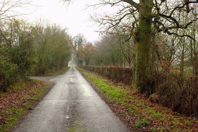
Image: © Derek Harper Taken: 31 Dec 2016
A straight stretch of lane south of its junction with Kettleburgh Road, and used by NCN1.
Images are licensed for reuse under creativecommons.org/licenses/by-sa/2.0
Image Location
Latitude
52.194535
Longitude
1.323181