Bollards, Burbages Lane
Introduction
The photograph on this page of Bollards, Burbages Lane by Niki Walton as part of the Geograph project.
The Geograph project started in 2005 with the aim of publishing, organising and preserving representative images for every square kilometre of Great Britain, Ireland and the Isle of Man.

There are currently over 7.5m images from over 14,400 individuals and you can help contribute to the project by visiting https://www.geograph.org.uk
Bollards, Burbages Lane
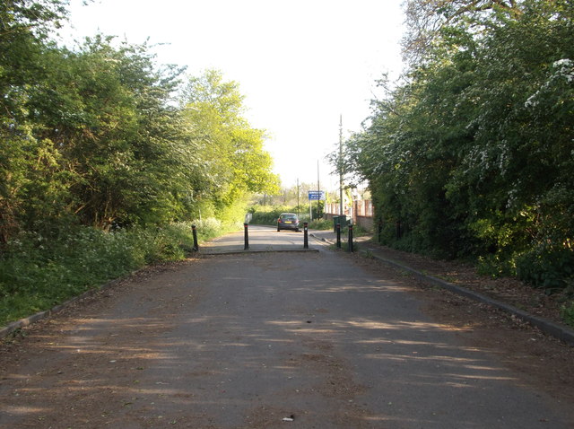
Image: © Niki Walton Taken: 4 May 2017
Burbages Lane was closed off at the Coventry end in 2004 due to the construction of nearby Winding House Lane, a dual carriageway designed to cope with the heavy traffic expected in the area with the construction of the nearby Ricoh Arena and Shopping Park.
Images are licensed for reuse under creativecommons.org/licenses/by-sa/2.0
Image Location
Latitude
52.450839
Longitude
-1.50202