Towards Sawmill House
Introduction
The photograph on this page of Towards Sawmill House by Des Blenkinsopp as part of the Geograph project.
The Geograph project started in 2005 with the aim of publishing, organising and preserving representative images for every square kilometre of Great Britain, Ireland and the Isle of Man.

There are currently over 7.5m images from over 14,400 individuals and you can help contribute to the project by visiting https://www.geograph.org.uk
Towards Sawmill House
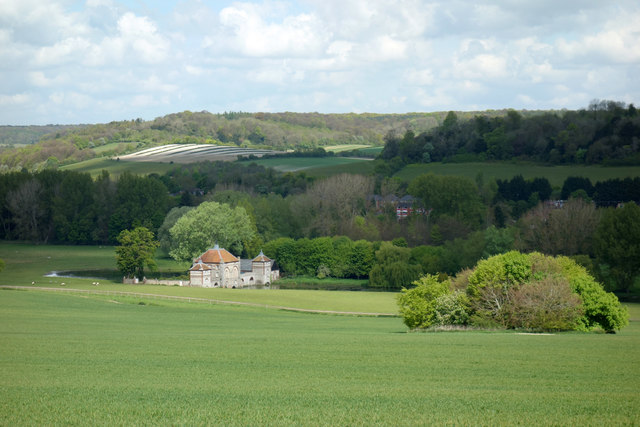
Image: © Des Blenkinsopp Taken: 2 May 2017
Looking northwards down into the Wye Valley from woodland beside Towerage Lane. This square ends about where the track is, beyond the clump of trees. The house is in SU8394. Sawmill House is a mid C18 building on the West Wycombe Estate. Originally built as a working sawmill it appears to owe more to Chateaux on the Loire than to the timber industry.
Images are licensed for reuse under creativecommons.org/licenses/by-sa/2.0
Image Location
Latitude
51.637137
Longitude
-0.790792