Woodside
Introduction
The photograph on this page of Woodside by Richard Webb as part of the Geograph project.
The Geograph project started in 2005 with the aim of publishing, organising and preserving representative images for every square kilometre of Great Britain, Ireland and the Isle of Man.

There are currently over 7.5m images from over 14,400 individuals and you can help contribute to the project by visiting https://www.geograph.org.uk
Woodside
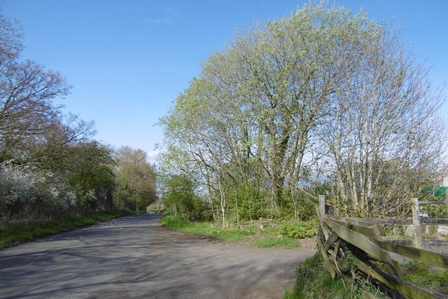
Image: © Richard Webb Taken: 22 Apr 2017
Some surviving foundations from the lost mining village can be seen beneath the tree. Woodside was demolished and its inhabitants rehoused in the 1950s.
Images are licensed for reuse under creativecommons.org/licenses/by-sa/2.0
Image Location
Latitude
55.469868
Longitude
-4.499437