Falls and bridge at Arbirlot
Introduction
The photograph on this page of Falls and bridge at Arbirlot by Gwen and James Anderson as part of the Geograph project.
The Geograph project started in 2005 with the aim of publishing, organising and preserving representative images for every square kilometre of Great Britain, Ireland and the Isle of Man.

There are currently over 7.5m images from over 14,400 individuals and you can help contribute to the project by visiting https://www.geograph.org.uk
Falls and bridge at Arbirlot
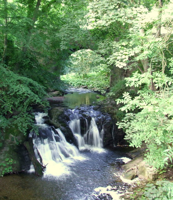
Image: © Gwen and James Anderson Taken: 26 Aug 2007
Below the bridge that gives access to the village. These falls are hidden away, a path runs down behind the church.
Images are licensed for reuse under creativecommons.org/licenses/by-sa/2.0
Image Location
Latitude
56.554332
Longitude
-2.649039