Former A8 in Port Glasgow
Introduction
The photograph on this page of Former A8 in Port Glasgow by Thomas Nugent as part of the Geograph project.
The Geograph project started in 2005 with the aim of publishing, organising and preserving representative images for every square kilometre of Great Britain, Ireland and the Isle of Man.

There are currently over 7.5m images from over 14,400 individuals and you can help contribute to the project by visiting https://www.geograph.org.uk
Former A8 in Port Glasgow
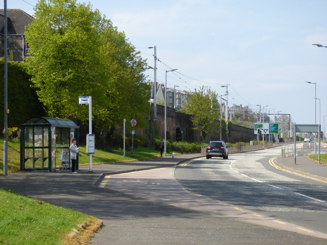
Image: © Thomas Nugent Taken: 1 May 2017
This two way street was until fairly recently the west-bound carriageway of the A8. The Glasgow to Gourock and Wemyss Bay railway line is on the left, the junction for Gourock and Wemyss Bay is just beyond the road sign (roundabout).
Images are licensed for reuse under creativecommons.org/licenses/by-sa/2.0
Image Location
Latitude
55.935216
Longitude
-4.698271