Sheep pasture near Newby
Introduction
The photograph on this page of Sheep pasture near Newby by Derek Harper as part of the Geograph project.
The Geograph project started in 2005 with the aim of publishing, organising and preserving representative images for every square kilometre of Great Britain, Ireland and the Isle of Man.

There are currently over 7.5m images from over 14,400 individuals and you can help contribute to the project by visiting https://www.geograph.org.uk
Sheep pasture near Newby
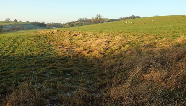
Image: © Derek Harper Taken: 29 Dec 2016
Looking left from the same spot as Image The mapped line of bridleway 15 140/12/1 crosses diagonally towards the lower edge of the field and then back towards the farm buildings on Gravelly Hill. Round Hill is on the horizon, right of centre, behind trees.
Images are licensed for reuse under creativecommons.org/licenses/by-sa/2.0
Image Location


Leaflet Map data © OpenStreetMap
Latitude
53.91848
Longitude
-1.601056