St John's Priory, Bridgend
Introduction
The photograph on this page of St John's Priory, Bridgend by Jaggery as part of the Geograph project.
The Geograph project started in 2005 with the aim of publishing, organising and preserving representative images for every square kilometre of Great Britain, Ireland and the Isle of Man.

There are currently over 7.5m images from over 14,400 individuals and you can help contribute to the project by visiting https://www.geograph.org.uk
St John's Priory, Bridgend
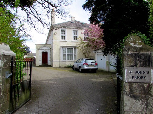
Image: © Jaggery Taken: 18 Apr 2017
The building on the corner of Merthyr Mawr Road (North) and the A473 has been converted to several flats.
Images are licensed for reuse under creativecommons.org/licenses/by-sa/2.0
Image Location
Latitude
51.502985
Longitude
-3.57887