Junction of Merthyr Mawr Road(North) and Nolton Street, Bridgend
Introduction
The photograph on this page of Junction of Merthyr Mawr Road(North) and Nolton Street, Bridgend by Jaggery as part of the Geograph project.
The Geograph project started in 2005 with the aim of publishing, organising and preserving representative images for every square kilometre of Great Britain, Ireland and the Isle of Man.

There are currently over 7.5m images from over 14,400 individuals and you can help contribute to the project by visiting https://www.geograph.org.uk
Junction of Merthyr Mawr Road(North) and Nolton Street, Bridgend
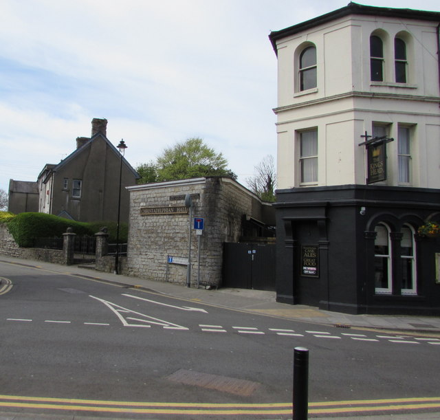
Image: © Jaggery Taken: 18 Apr 2017
Viewed across Nolton Street. A Christadelphian Hall http://www.geograph.org.uk/photo/3907858 and the King's Head http://www.geograph.org.uk/photo/5355931 are on the right.
Images are licensed for reuse under creativecommons.org/licenses/by-sa/2.0
Image Location
Latitude
51.504089
Longitude
-3.577035