Merthyr Mawr Road (North), Bridgend
Introduction
The photograph on this page of Merthyr Mawr Road (North), Bridgend by Jaggery as part of the Geograph project.
The Geograph project started in 2005 with the aim of publishing, organising and preserving representative images for every square kilometre of Great Britain, Ireland and the Isle of Man.

There are currently over 7.5m images from over 14,400 individuals and you can help contribute to the project by visiting https://www.geograph.org.uk
Merthyr Mawr Road (North), Bridgend
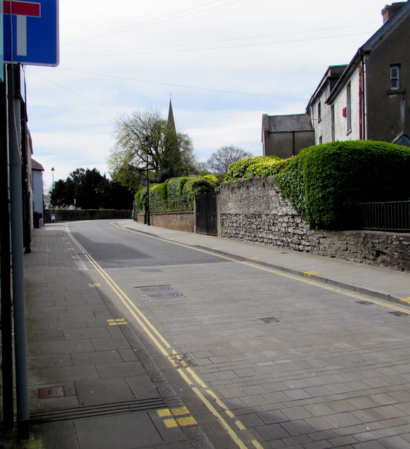
Image: © Jaggery Taken: 18 Apr 2017
The sign shows that this is not a through route for motor vehicles. The spire of St Mary's Church http://www.geograph.org.uk/photo/5356085 is in the distance.
Images are licensed for reuse under creativecommons.org/licenses/by-sa/2.0
Image Location
Latitude
51.503434
Longitude
-3.578885