Cycle route in former railway cutting, West Allotment
Introduction
The photograph on this page of Cycle route in former railway cutting, West Allotment by Graham Robson as part of the Geograph project.
The Geograph project started in 2005 with the aim of publishing, organising and preserving representative images for every square kilometre of Great Britain, Ireland and the Isle of Man.

There are currently over 7.5m images from over 14,400 individuals and you can help contribute to the project by visiting https://www.geograph.org.uk
Cycle route in former railway cutting, West Allotment
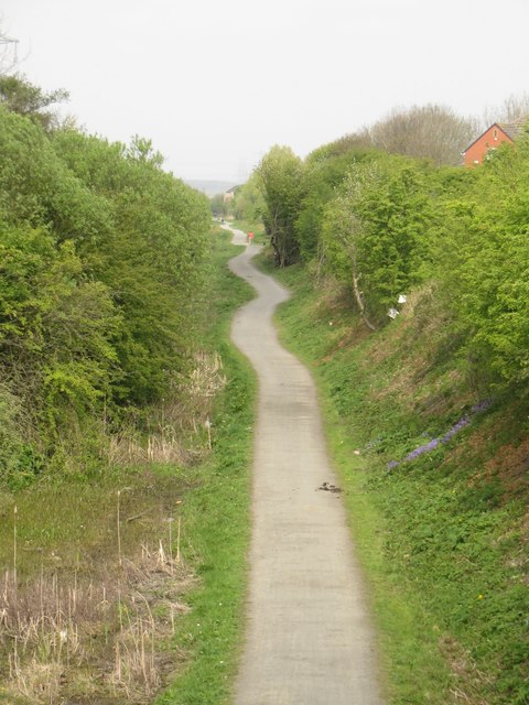
Image: © Graham Robson Taken: 1 May 2017
A mixed use cycle way and footpath make use of a former railway cutting to provide a traffic free route passing through West Allotment and towards Percy Main. The path is seen from a bridge carrying New York Road over the cutting.
Images are licensed for reuse under creativecommons.org/licenses/by-sa/2.0
Image Location
Latitude
55.028126
Longitude
-1.50799