Glasgow High Street from the air
Introduction
The photograph on this page of Glasgow High Street from the air by Thomas Nugent as part of the Geograph project.
The Geograph project started in 2005 with the aim of publishing, organising and preserving representative images for every square kilometre of Great Britain, Ireland and the Isle of Man.

There are currently over 7.5m images from over 14,400 individuals and you can help contribute to the project by visiting https://www.geograph.org.uk
Glasgow High Street from the air
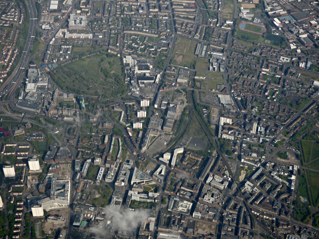
Image: © Thomas Nugent Taken: 1 May 2017
Glasgow Cross is near the lower right corner, with High Street meandering diagonally towards the top left corner where the Royal Informary and Cathedral can be seen, with the necropolis behind. The triangular building in the foreground is the new TIC building of Strathclyde University on George Street Image The new Alan Glens building on Cathedral Street Image is in the lower left corner.
Images are licensed for reuse under creativecommons.org/licenses/by-sa/2.0
Image Location
Latitude
55.860399
Longitude
-4.243522