Stainburn Lane
Introduction
The photograph on this page of Stainburn Lane by Derek Harper as part of the Geograph project.
The Geograph project started in 2005 with the aim of publishing, organising and preserving representative images for every square kilometre of Great Britain, Ireland and the Isle of Man.

There are currently over 7.5m images from over 14,400 individuals and you can help contribute to the project by visiting https://www.geograph.org.uk
Stainburn Lane
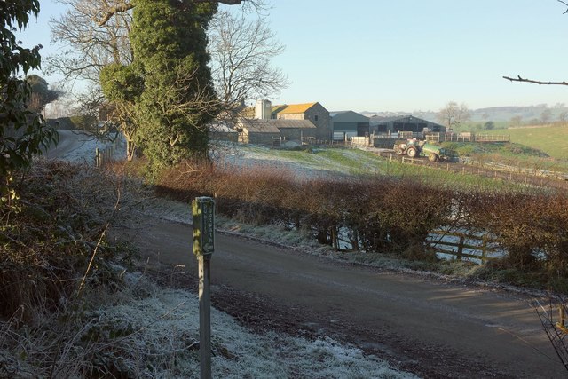
Image: © Derek Harper Taken: 29 Dec 2016
As the sign in the foreground suggests, taken where footpath 15 76/6/1 meets it. Hilltop Farm, in the background, is in Image The ivy-clad tree is seen in Image
Images are licensed for reuse under creativecommons.org/licenses/by-sa/2.0
Image Location
Latitude
53.923444
Longitude
-1.635727