Valley near Hilltop Farm
Introduction
The photograph on this page of Valley near Hilltop Farm by Derek Harper as part of the Geograph project.
The Geograph project started in 2005 with the aim of publishing, organising and preserving representative images for every square kilometre of Great Britain, Ireland and the Isle of Man.

There are currently over 7.5m images from over 14,400 individuals and you can help contribute to the project by visiting https://www.geograph.org.uk
Valley near Hilltop Farm
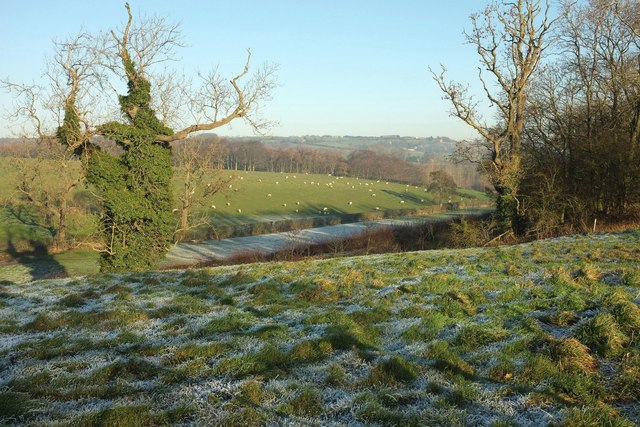
Image: © Derek Harper Taken: 29 Dec 2016
Taken from footpath 15 76/6/1, about to join Stainburn Lane which runs beside the first hedge past the trees. The valley is of a tributary of the Thrispin Beck. The distant village right of centre is Stainburn.
Images are licensed for reuse under creativecommons.org/licenses/by-sa/2.0
Image Location
Latitude
53.923085
Longitude
-1.636035