Milestone On Former A487
Introduction
The photograph on this page of Milestone On Former A487 by Keith Evans as part of the Geograph project.
The Geograph project started in 2005 with the aim of publishing, organising and preserving representative images for every square kilometre of Great Britain, Ireland and the Isle of Man.

There are currently over 7.5m images from over 14,400 individuals and you can help contribute to the project by visiting https://www.geograph.org.uk
Milestone On Former A487
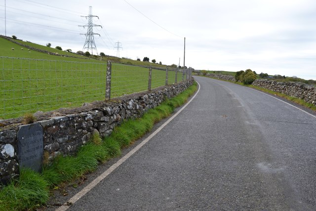
Image: © Keith Evans Taken: 29 Apr 2017
Old slate milestone in the wall on what was the A487 near to Nebo, Gwynedd for closeup view see http://www.geograph.org.uk/photo/5372640
Images are licensed for reuse under creativecommons.org/licenses/by-sa/2.0
Image Location


Leaflet Map data © OpenStreetMap
Latitude
53.031803
Longitude
-4.288571