Balmedie
Introduction
The photograph on this page of Balmedie by Anne Burgess as part of the Geograph project.
The Geograph project started in 2005 with the aim of publishing, organising and preserving representative images for every square kilometre of Great Britain, Ireland and the Isle of Man.

There are currently over 7.5m images from over 14,400 individuals and you can help contribute to the project by visiting https://www.geograph.org.uk
Balmedie
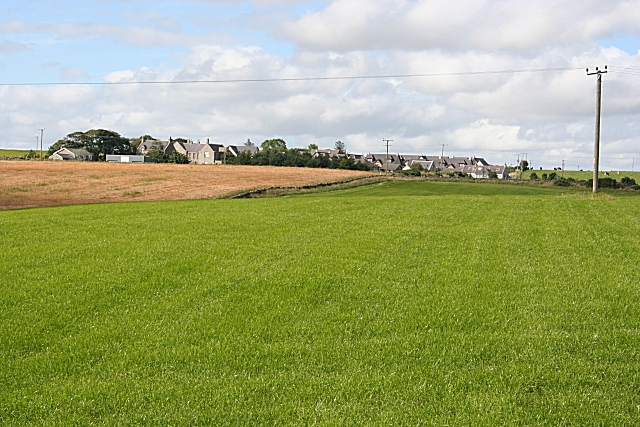
Image: © Anne Burgess Taken: 27 Aug 2007
A field of grass by the road at Balmedie. In the background, in the next square, is Hill of Keir; on the left is the former schoolhouse, now boarded up, and on the left some of the new housing which has sprung up in recent years.
Images are licensed for reuse under creativecommons.org/licenses/by-sa/2.0
Image Location
Latitude
57.255533
Longitude
-2.083852