Kiddington
Introduction
The photograph on this page of Kiddington by Chris Brown as part of the Geograph project.
The Geograph project started in 2005 with the aim of publishing, organising and preserving representative images for every square kilometre of Great Britain, Ireland and the Isle of Man.

There are currently over 7.5m images from over 14,400 individuals and you can help contribute to the project by visiting https://www.geograph.org.uk
Kiddington
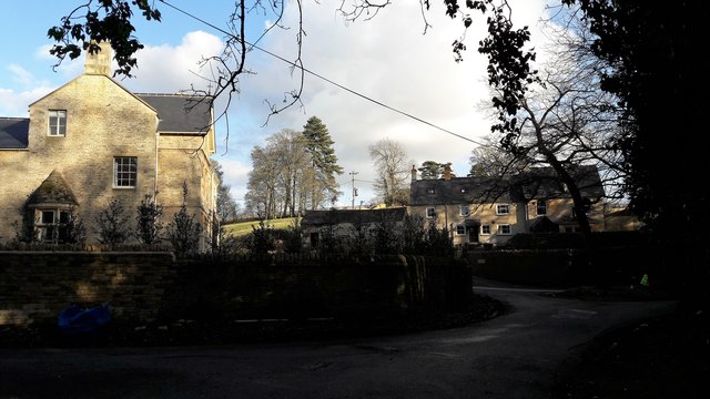
Image: © Chris Brown Taken: 7 Feb 2017
Looking through the staggered junction at the heart of Kiddington from in front of the gates to Kiddington Hall. On the left is the lane to Radford.
Images are licensed for reuse under creativecommons.org/licenses/by-sa/2.0
Image Location
Latitude
51.902924
Longitude
-1.398506