Junction of lanes at Kiddington
Introduction
The photograph on this page of Junction of lanes at Kiddington by Chris Brown as part of the Geograph project.
The Geograph project started in 2005 with the aim of publishing, organising and preserving representative images for every square kilometre of Great Britain, Ireland and the Isle of Man.

There are currently over 7.5m images from over 14,400 individuals and you can help contribute to the project by visiting https://www.geograph.org.uk
Junction of lanes at Kiddington
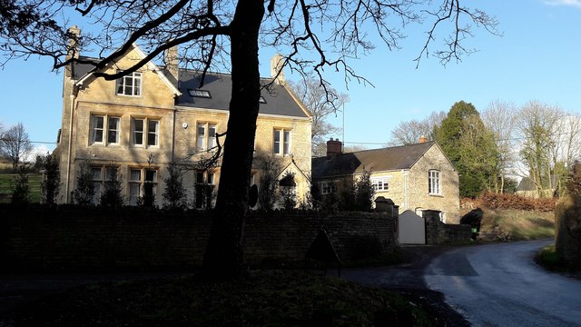
Image: © Chris Brown Taken: 7 Feb 2017
The village centre of Kiddington is this small triangle between roadways. Right is the road through towards the Bartons and Sandford St Martin; left are the more obscure lane to Radford up the Glyme valley and the drive to Kiddington Hall.
Images are licensed for reuse under creativecommons.org/licenses/by-sa/2.0
Image Location
Latitude
51.903106
Longitude
-1.398794