Barn conversion, Overland Lane
Introduction
The photograph on this page of Barn conversion, Overland Lane by John Baker as part of the Geograph project.
The Geograph project started in 2005 with the aim of publishing, organising and preserving representative images for every square kilometre of Great Britain, Ireland and the Isle of Man.

There are currently over 7.5m images from over 14,400 individuals and you can help contribute to the project by visiting https://www.geograph.org.uk
Barn conversion, Overland Lane
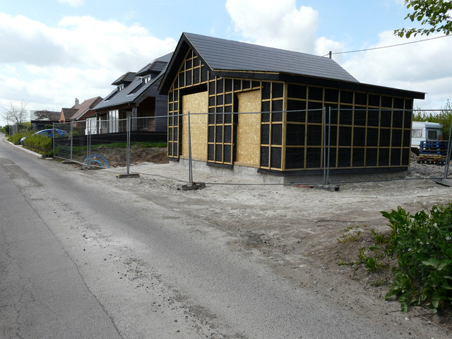
Image: © John Baker Taken: 16 Apr 2017
Planning permission was granted by Dover District Council under application number DOV/16/00874 for the “prior approval for the change of use of agricultural building to dwelling house and associated operational development”. The site was described as The Black Barn, Hoaden Court Farm. This is the Image from the back.
Images are licensed for reuse under creativecommons.org/licenses/by-sa/2.0
Image Location
Latitude
51.291831
Longitude
1.259405