Bus lane signs, Queensway, Derriaghy (April 2017)
Introduction
The photograph on this page of Bus lane signs, Queensway, Derriaghy (April 2017) by Albert Bridge as part of the Geograph project.
The Geograph project started in 2005 with the aim of publishing, organising and preserving representative images for every square kilometre of Great Britain, Ireland and the Isle of Man.

There are currently over 7.5m images from over 14,400 individuals and you can help contribute to the project by visiting https://www.geograph.org.uk
Bus lane signs, Queensway, Derriaghy (April 2017)
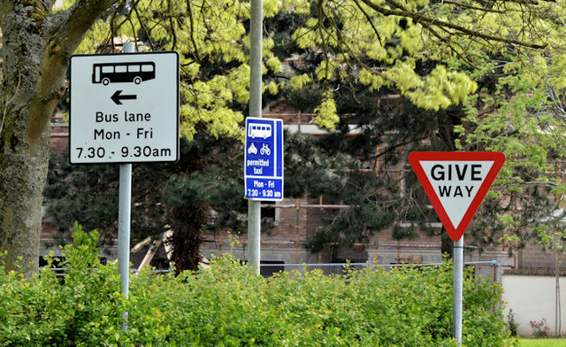
Image: © Albert Bridge Taken: 30 Apr 2017
Bus lane signs, on the inward lanes of Queensway, at the end of the Mosside Road. The outward lane, part of the Belfast – Lisburn road, is said to be the sixth most congested road in the UK http://inrix.com/press-releases/traffic-congestion-cost-uk-motorists-more-than-30-billion-in-2016/.
Images are licensed for reuse under creativecommons.org/licenses/by-sa/2.0
Image Location
Latitude
54.537373
Longitude
-6.025666