Level crossing on the Ivanhoe Line
Introduction
The photograph on this page of Level crossing on the Ivanhoe Line by Mat Fascione as part of the Geograph project.
The Geograph project started in 2005 with the aim of publishing, organising and preserving representative images for every square kilometre of Great Britain, Ireland and the Isle of Man.

There are currently over 7.5m images from over 14,400 individuals and you can help contribute to the project by visiting https://www.geograph.org.uk
Level crossing on the Ivanhoe Line
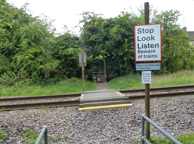
Image: © Mat Fascione Taken: 29 Apr 2017
The path is leading to Packer Avenue in Leicester Forest East.
Images are licensed for reuse under creativecommons.org/licenses/by-sa/2.0
Image Location
Latitude
52.628676
Longitude
-1.207623