Cedar Road, East Molesey
Introduction
The photograph on this page of Cedar Road, East Molesey by Jaggery as part of the Geograph project.
The Geograph project started in 2005 with the aim of publishing, organising and preserving representative images for every square kilometre of Great Britain, Ireland and the Isle of Man.

There are currently over 7.5m images from over 14,400 individuals and you can help contribute to the project by visiting https://www.geograph.org.uk
Cedar Road, East Molesey
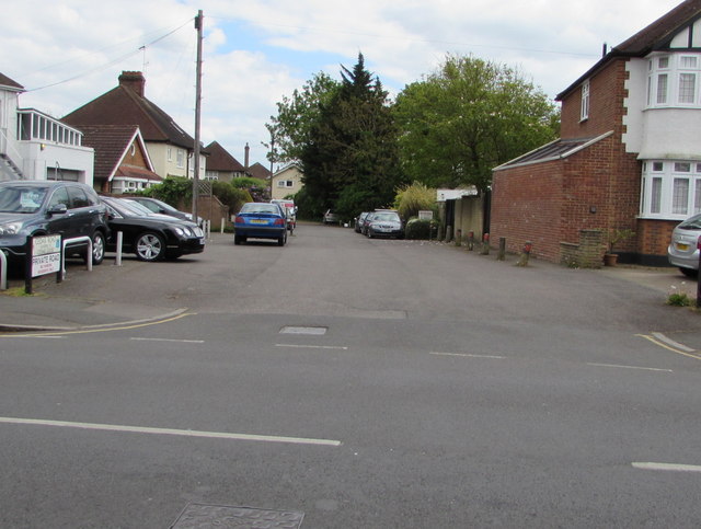
Image: © Jaggery Taken: 29 Apr 2017
Cedar Road is a private road leading to Cedar Close on a bank of the River Mole. Viewed across the B3379 Bridge Road. London & Surrey Cars premises http://www.geograph.org.uk/photo/5370395 are on the left.
Images are licensed for reuse under creativecommons.org/licenses/by-sa/2.0
Image Location


Leaflet Map data © OpenStreetMap
Latitude
51.399831
Longitude
-0.347964