The Village Hall, Millington
Introduction
The photograph on this page of The Village Hall, Millington by Tim Heaton as part of the Geograph project.
The Geograph project started in 2005 with the aim of publishing, organising and preserving representative images for every square kilometre of Great Britain, Ireland and the Isle of Man.

There are currently over 7.5m images from over 14,400 individuals and you can help contribute to the project by visiting https://www.geograph.org.uk
The Village Hall, Millington
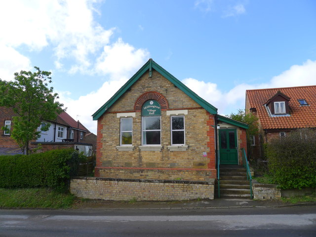
Image: © Tim Heaton Taken: 26 Apr 2017
A converted Methodist chapel. Functions as a hall, and also offers basic bed and breakfast accommodation http://www.millingtonvillagehall.org.uk/Site/Accommodation.html
Images are licensed for reuse under creativecommons.org/licenses/by-sa/2.0
Image Location


Leaflet Map data © OpenStreetMap
Latitude
53.955457
Longitude
-0.736016