Horsham Corner
Introduction
The photograph on this page of Horsham Corner by Dan Gregory as part of the Geograph project.
The Geograph project started in 2005 with the aim of publishing, organising and preserving representative images for every square kilometre of Great Britain, Ireland and the Isle of Man.

There are currently over 7.5m images from over 14,400 individuals and you can help contribute to the project by visiting https://www.geograph.org.uk
Horsham Corner
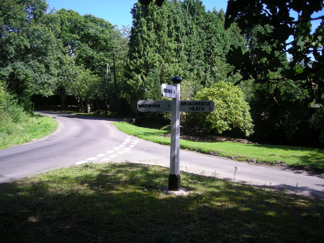
Image: © Dan Gregory Taken: 7 Aug 2007
In the north east of the square, Byfleets Lane is joined by Strood Lane at Horsham corner where this recently restored guide post gives directions.
Images are licensed for reuse under creativecommons.org/licenses/by-sa/2.0
Image Location


Leaflet Map data © OpenStreetMap
Latitude
51.084491
Longitude
-0.363078