Glebe Farm House, Woodend
Introduction
The photograph on this page of Glebe Farm House, Woodend by Jonathan Thacker as part of the Geograph project.
The Geograph project started in 2005 with the aim of publishing, organising and preserving representative images for every square kilometre of Great Britain, Ireland and the Isle of Man.

There are currently over 7.5m images from over 14,400 individuals and you can help contribute to the project by visiting https://www.geograph.org.uk
Glebe Farm House, Woodend
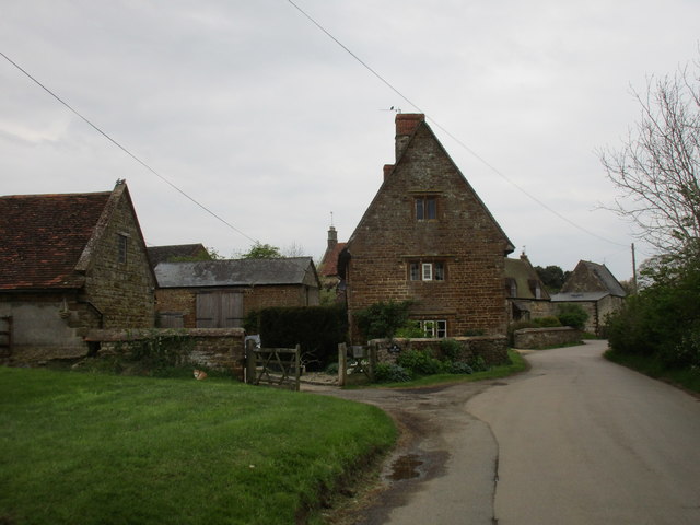
Image: © Jonathan Thacker Taken: 28 Apr 2017
A late seventeenth century farmhouse which makes a striking impression at the entrance to the village http://www.britishlistedbuildings.co.uk/101371670-glebe-farmhouse-woodend#.WQO6Jsa1vIU
Images are licensed for reuse under creativecommons.org/licenses/by-sa/2.0
Image Location


Leaflet Map data © OpenStreetMap
Latitude
52.138657
Longitude
-1.100767