River Tay south of Friarton (or Moncreiffe) Island
Introduction
The photograph on this page of River Tay south of Friarton (or Moncreiffe) Island by G Laird as part of the Geograph project.
The Geograph project started in 2005 with the aim of publishing, organising and preserving representative images for every square kilometre of Great Britain, Ireland and the Isle of Man.

There are currently over 7.5m images from over 14,400 individuals and you can help contribute to the project by visiting https://www.geograph.org.uk
River Tay south of Friarton (or Moncreiffe) Island
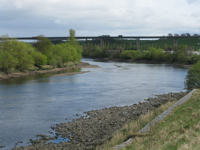
Image: © G Laird Taken: 27 Apr 2017
Looking down-river towards the Friarton Bridge. This point on the river is the highest level that spring tides reach on the average over a period of time (usually 19 years).
Images are licensed for reuse under creativecommons.org/licenses/by-sa/2.0
Image Location
Latitude
56.377454
Longitude
-3.421171