Harecourt United Reformed Church, St Paul's Road
Introduction
The photograph on this page of Harecourt United Reformed Church, St Paul's Road by Jim Osley as part of the Geograph project.
The Geograph project started in 2005 with the aim of publishing, organising and preserving representative images for every square kilometre of Great Britain, Ireland and the Isle of Man.

There are currently over 7.5m images from over 14,400 individuals and you can help contribute to the project by visiting https://www.geograph.org.uk
Harecourt United Reformed Church, St Paul's Road
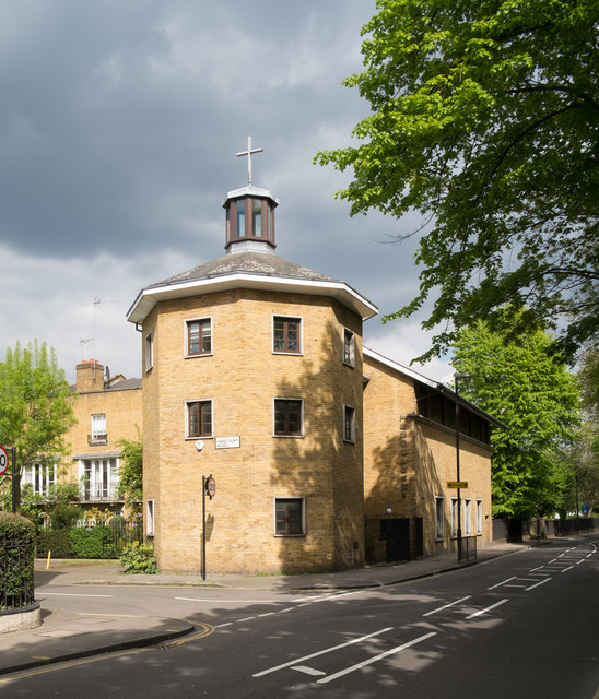
Image: © Jim Osley Taken: 28 Apr 2017
Replaces a church built in 1855 and destroyed by fire in 1982. The foundation stone for the 1855 church has been incorporated into the new building.
Images are licensed for reuse under creativecommons.org/licenses/by-sa/2.0
Image Location
Latitude
51.550217
Longitude
-0.100639