Dock View Road houses, Barry
Introduction
The photograph on this page of Dock View Road houses, Barry by Jaggery as part of the Geograph project.
The Geograph project started in 2005 with the aim of publishing, organising and preserving representative images for every square kilometre of Great Britain, Ireland and the Isle of Man.

There are currently over 7.5m images from over 14,400 individuals and you can help contribute to the project by visiting https://www.geograph.org.uk
Dock View Road houses, Barry
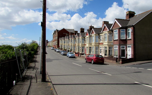
Image: © Jaggery Taken: 26 Apr 2017
The row of houses extends from the corner of Lower Pyke Street to Sea View Labour Club http://www.geograph.org.uk/photo/5367112 on the corner of George Street. On the left, temporary fencing plugs a break in the railings above railway lines.
Images are licensed for reuse under creativecommons.org/licenses/by-sa/2.0
Image Location
Latitude
51.404608
Longitude
-3.259757