Harvey Street, Barry
Introduction
The photograph on this page of Harvey Street, Barry by Jaggery as part of the Geograph project.
The Geograph project started in 2005 with the aim of publishing, organising and preserving representative images for every square kilometre of Great Britain, Ireland and the Isle of Man.

There are currently over 7.5m images from over 14,400 individuals and you can help contribute to the project by visiting https://www.geograph.org.uk
Harvey Street, Barry
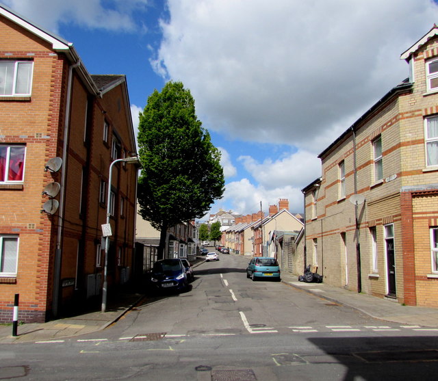
Image: © Jaggery Taken: 26 Apr 2017
From Vere Street along Harvey Street towards Quarella Street and Kenilworth Road. Liddicoat Court flats http://www.geograph.org.uk/photo/5365805 are on the left.
Images are licensed for reuse under creativecommons.org/licenses/by-sa/2.0
Image Location
Latitude
51.412151
Longitude
-3.252343