Northeast end of Hillary Rise, Barry
Introduction
The photograph on this page of Northeast end of Hillary Rise, Barry by Jaggery as part of the Geograph project.
The Geograph project started in 2005 with the aim of publishing, organising and preserving representative images for every square kilometre of Great Britain, Ireland and the Isle of Man.

There are currently over 7.5m images from over 14,400 individuals and you can help contribute to the project by visiting https://www.geograph.org.uk
Northeast end of Hillary Rise, Barry
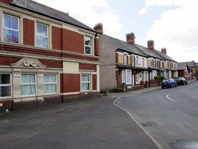
Image: © Jaggery Taken: 26 Apr 2017
Part of Hillary Mews is on the left. Luchana Mission Free Evangelical Church http://www.geograph.org.uk/photo/5366265 is on the right.
Images are licensed for reuse under creativecommons.org/licenses/by-sa/2.0
Image Location
Latitude
51.409988
Longitude
-3.252859