Shutt Hill Lock south of Acton Trussell, Staffordshire
Introduction
The photograph on this page of Shutt Hill Lock south of Acton Trussell, Staffordshire by Roger D Kidd as part of the Geograph project.
The Geograph project started in 2005 with the aim of publishing, organising and preserving representative images for every square kilometre of Great Britain, Ireland and the Isle of Man.

There are currently over 7.5m images from over 14,400 individuals and you can help contribute to the project by visiting https://www.geograph.org.uk
Shutt Hill Lock south of Acton Trussell, Staffordshire
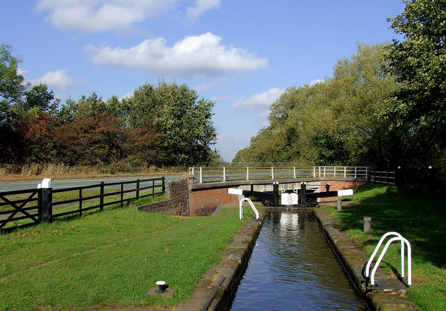
Image: © Roger D Kidd Taken: 22 Oct 2011
This is Lock No 41. Shutt Hill Bridge is No 91 and carries Teddesley Road across the Staffordshire and Worcestershire Canal.
Images are licensed for reuse under creativecommons.org/licenses/by-sa/2.0
Image Location


Leaflet Map data © OpenStreetMap
Latitude
52.75022
Longitude
-2.094033