Unhealthy area? [6]
Introduction
The photograph on this page of Unhealthy area? [6] by Michael Dibb as part of the Geograph project.
The Geograph project started in 2005 with the aim of publishing, organising and preserving representative images for every square kilometre of Great Britain, Ireland and the Isle of Man.

There are currently over 7.5m images from over 14,400 individuals and you can help contribute to the project by visiting https://www.geograph.org.uk
Unhealthy area? [6]
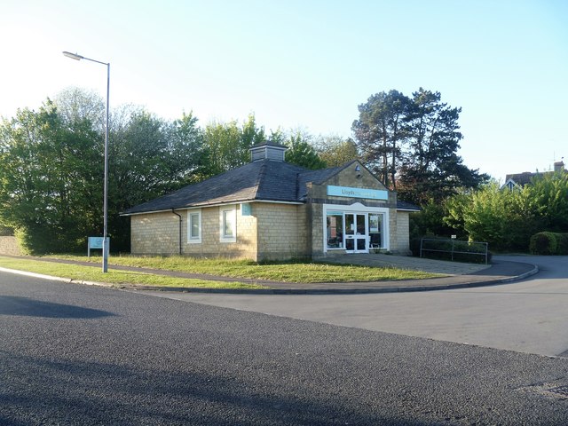
Image: © Michael Dibb Taken: 22 Apr 2017
The small area at the top of Rowden Hill has a community hospital, a surgery and a pharmacy. This is the pharmacy seen from St Luke's Drive.
Images are licensed for reuse under creativecommons.org/licenses/by-sa/2.0
Image Location
Latitude
51.453395
Longitude
-2.124725