Corchester Lane
Introduction
The photograph on this page of Corchester Lane by Bill Boaden as part of the Geograph project.
The Geograph project started in 2005 with the aim of publishing, organising and preserving representative images for every square kilometre of Great Britain, Ireland and the Isle of Man.

There are currently over 7.5m images from over 14,400 individuals and you can help contribute to the project by visiting https://www.geograph.org.uk
Corchester Lane
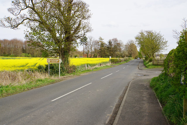
Image: © Bill Boaden Taken: 18 Apr 2017
Passing the entrance to Corbridge Roman site. The building on the far side of the oil seed rape field is Corchester Towers, which was formerly a preparatory school.
Images are licensed for reuse under creativecommons.org/licenses/by-sa/2.0
Image Location


Leaflet Map data © OpenStreetMap
Latitude
54.979961
Longitude
-2.0295