The Buttercross, Pontefract.
Introduction
The photograph on this page of The Buttercross, Pontefract. by Martyn Pattison as part of the Geograph project.
The Geograph project started in 2005 with the aim of publishing, organising and preserving representative images for every square kilometre of Great Britain, Ireland and the Isle of Man.

There are currently over 7.5m images from over 14,400 individuals and you can help contribute to the project by visiting https://www.geograph.org.uk
The Buttercross, Pontefract.
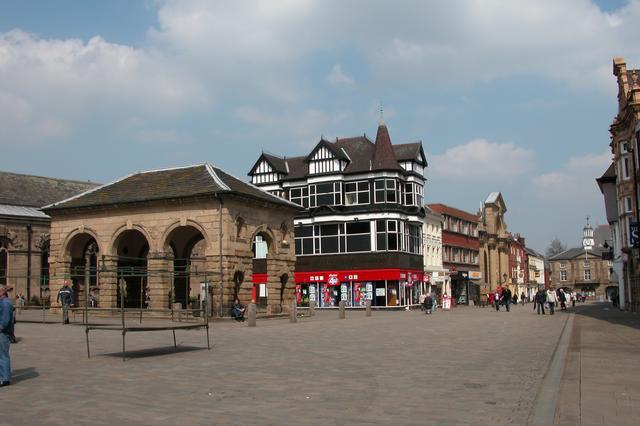
Image: © Martyn Pattison Taken: 21 Apr 2005
The buttercross was built in 1734, in the Middle Ages the site was the location of St. Oswald’s Cross, named after St. Oswald, King of Northumbria. St
Images are licensed for reuse under creativecommons.org/licenses/by-sa/2.0
Image Location


Leaflet Map data © OpenStreetMap
Latitude
53.687978
Longitude
-1.312503