Old Shoreham Road
Introduction
The photograph on this page of Old Shoreham Road by Simon Carey as part of the Geograph project.
The Geograph project started in 2005 with the aim of publishing, organising and preserving representative images for every square kilometre of Great Britain, Ireland and the Isle of Man.

There are currently over 7.5m images from over 14,400 individuals and you can help contribute to the project by visiting https://www.geograph.org.uk
Old Shoreham Road
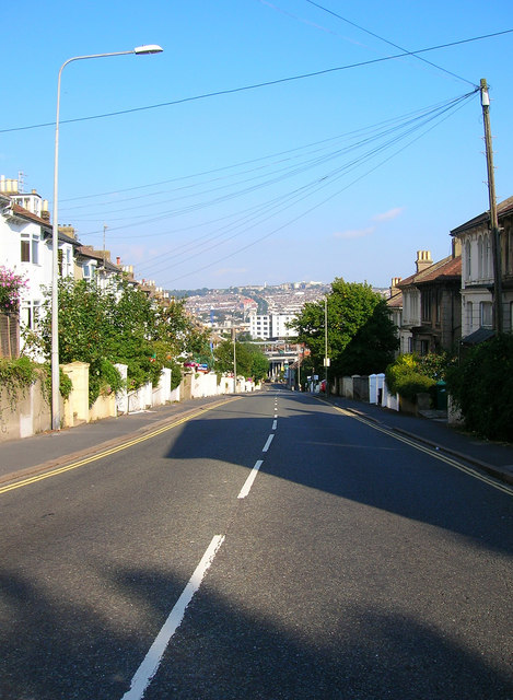
Image: © Simon Carey Taken: 26 Aug 2007
Former A27 now A270 has long been a major east west route in the area. Part of its course follows an old local Roman road which continued to be used for over a thousand years. This part climbs from the railway tunnel below with Prestonville Terrace lining the northern side of the road.
Images are licensed for reuse under creativecommons.org/licenses/by-sa/2.0
Image Location
Latitude
50.83358
Longitude
-0.146353