Howard Place
Introduction
The photograph on this page of Howard Place by Simon Carey as part of the Geograph project.
The Geograph project started in 2005 with the aim of publishing, organising and preserving representative images for every square kilometre of Great Britain, Ireland and the Isle of Man.

There are currently over 7.5m images from over 14,400 individuals and you can help contribute to the project by visiting https://www.geograph.org.uk
Howard Place
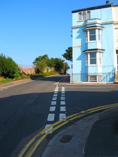
Image: © Simon Carey Taken: 26 Aug 2007
At the junction with Bath Street. Whilst Terminus Road takes you up the hill, Howard Place runs steeply back down it, the wall and fence on the left marking the boundary with the railway. The road was developed between 1848-53 along with others in the area.
Images are licensed for reuse under creativecommons.org/licenses/by-sa/2.0
Image Location
Latitude
50.831578
Longitude
-0.14487