Development and construction on the edge of Wrantage
Introduction
The photograph on this page of Development and construction on the edge of Wrantage by David Smith as part of the Geograph project.
The Geograph project started in 2005 with the aim of publishing, organising and preserving representative images for every square kilometre of Great Britain, Ireland and the Isle of Man.

There are currently over 7.5m images from over 14,400 individuals and you can help contribute to the project by visiting https://www.geograph.org.uk
Development and construction on the edge of Wrantage
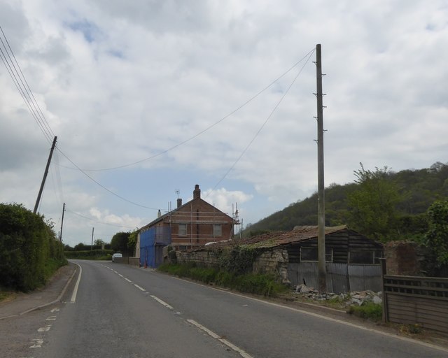
Image: © David Smith Taken: 21 Apr 2017
The building with scaffolding was formerly the Wrantage Inn
Images are licensed for reuse under creativecommons.org/licenses/by-sa/2.0
Image Location
Latitude
50.998638
Longitude
-2.984516