Marsh Lane, Fobbing
Introduction
The photograph on this page of Marsh Lane, Fobbing by Robin Webster as part of the Geograph project.
The Geograph project started in 2005 with the aim of publishing, organising and preserving representative images for every square kilometre of Great Britain, Ireland and the Isle of Man.

There are currently over 7.5m images from over 14,400 individuals and you can help contribute to the project by visiting https://www.geograph.org.uk
Marsh Lane, Fobbing
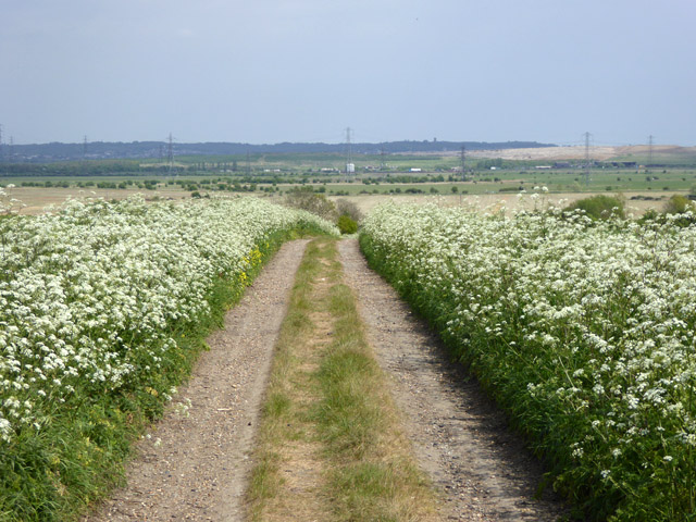
Image: © Robin Webster Taken: 23 Apr 2017
A dead-end heading down to the marshes, effectively now just a bridleway unless you are a key holder for the barrier.
Images are licensed for reuse under creativecommons.org/licenses/by-sa/2.0
Image Location
Latitude
51.533712
Longitude
0.475729