Marylebone station, new platforms 2006
Introduction
The photograph on this page of Marylebone station, new platforms 2006 by Ben Brooksbank as part of the Geograph project.
The Geograph project started in 2005 with the aim of publishing, organising and preserving representative images for every square kilometre of Great Britain, Ireland and the Isle of Man.

There are currently over 7.5m images from over 14,400 individuals and you can help contribute to the project by visiting https://www.geograph.org.uk
Marylebone station, new platforms 2006
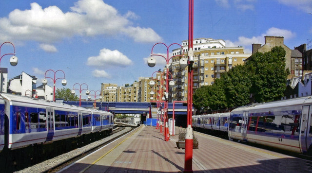
Image: © Ben Brooksbank Taken: 8 Sep 2006
View NW, country wise to Rossmore Road, on Platforms 1 and 2 - just opened, on east side of the station.
Images are licensed for reuse under creativecommons.org/licenses/by-sa/2.0
Image Location


Leaflet Map data © OpenStreetMap
Latitude
51.523798
Longitude
-0.164013