River in drought 8 - Broad Colney lake
Introduction
The photograph on this page of River in drought 8 - Broad Colney lake by John Webb as part of the Geograph project.
The Geograph project started in 2005 with the aim of publishing, organising and preserving representative images for every square kilometre of Great Britain, Ireland and the Isle of Man.

There are currently over 7.5m images from over 14,400 individuals and you can help contribute to the project by visiting https://www.geograph.org.uk
River in drought 8 - Broad Colney lake
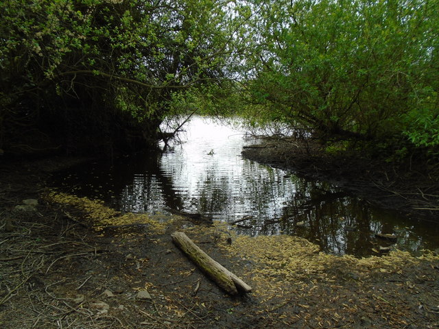
Image: © John Webb Taken: 24 Apr 2017
Where the Colne enters the east end of the Broad Colney lakes, a former gravel pit.
Images are licensed for reuse under creativecommons.org/licenses/by-sa/2.0
Image Location
Latitude
51.718082
Longitude
-0.292527