Dyke Road
Introduction
The photograph on this page of Dyke Road by Simon Carey as part of the Geograph project.
The Geograph project started in 2005 with the aim of publishing, organising and preserving representative images for every square kilometre of Great Britain, Ireland and the Isle of Man.

There are currently over 7.5m images from over 14,400 individuals and you can help contribute to the project by visiting https://www.geograph.org.uk
Dyke Road
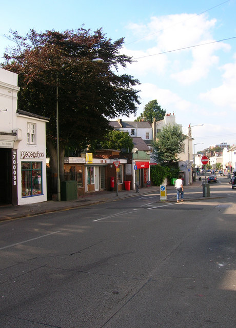
Image: © Simon Carey Taken: 26 Aug 2007
This view looks north towards its junction with Seven Dials. The area has moved upmarket in the last 10-15 years having once been the archetypal bedsit land with the shops reflecting that change, bistros and cafe bars now in abundance. The building to the right of the white building is a former public convenience that has been converted into two retail units; a florist and a small cafe. The bookmakers may hark back to the area's former lack of glory but the shop beyond the tree, a sushi bar reflects today's clientele.
Images are licensed for reuse under creativecommons.org/licenses/by-sa/2.0
Image Location
Latitude
50.830087
Longitude
-0.147202