Dyke Road
Introduction
The photograph on this page of Dyke Road by Simon Carey as part of the Geograph project.
The Geograph project started in 2005 with the aim of publishing, organising and preserving representative images for every square kilometre of Great Britain, Ireland and the Isle of Man.

There are currently over 7.5m images from over 14,400 individuals and you can help contribute to the project by visiting https://www.geograph.org.uk
Dyke Road
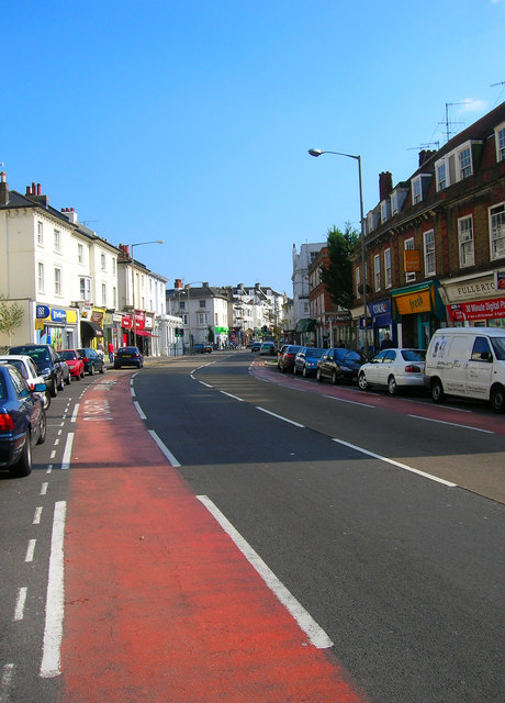
Image: © Simon Carey Taken: 26 Aug 2007
The section that runs between Seven Dials and Old Shoreham Road is briefly the A2010. The road was the original northern route out of Brighton towards London prior to the development of Ditchling-Cuckfield route in the 18th century. The area was developed from the 1840s onwards and the road provides most of the local shopping facilities today.
Images are licensed for reuse under creativecommons.org/licenses/by-sa/2.0
Image Location


Leaflet Map data © OpenStreetMap
Latitude
50.831713
Longitude
-0.147705