The end of Lipe Lane, junction with A358
Introduction
The photograph on this page of The end of Lipe Lane, junction with A358 by David Smith as part of the Geograph project.
The Geograph project started in 2005 with the aim of publishing, organising and preserving representative images for every square kilometre of Great Britain, Ireland and the Isle of Man.

There are currently over 7.5m images from over 14,400 individuals and you can help contribute to the project by visiting https://www.geograph.org.uk
The end of Lipe Lane, junction with A358
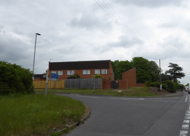
Image: © David Smith Taken: 21 Apr 2017
It may have been a lane many years ago, but now it is a wide road to Creech St Michael
Images are licensed for reuse under creativecommons.org/licenses/by-sa/2.0
Image Location
Latitude
51.011268
Longitude
-3.042087