Cyclepath at Old Shoreham (Junction with Toll Bridge)
Introduction
The photograph on this page of Cyclepath at Old Shoreham (Junction with Toll Bridge) by Andy Horton as part of the Geograph project.
The Geograph project started in 2005 with the aim of publishing, organising and preserving representative images for every square kilometre of Great Britain, Ireland and the Isle of Man.

There are currently over 7.5m images from over 14,400 individuals and you can help contribute to the project by visiting https://www.geograph.org.uk
Cyclepath at Old Shoreham (Junction with Toll Bridge)
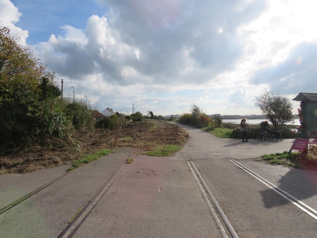
Image: © Andy Horton Taken: 22 Oct 2016
It shows the remains of the old railway track where the level crossing was
Images are licensed for reuse under creativecommons.org/licenses/by-sa/2.0
Image Location
Latitude
50.840676
Longitude
-0.286971