Cross at St. Barts.
Introduction
The photograph on this page of Cross at St. Barts. by Annette Randle as part of the Geograph project.
The Geograph project started in 2005 with the aim of publishing, organising and preserving representative images for every square kilometre of Great Britain, Ireland and the Isle of Man.

There are currently over 7.5m images from over 14,400 individuals and you can help contribute to the project by visiting https://www.geograph.org.uk
Cross at St. Barts.
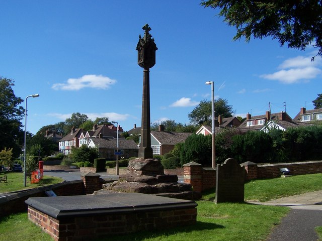
Image: © Annette Randle Taken: 26 Aug 2007
The remains of a more ancient cross was discovered in 1912, believed to have connections with Leofric, husband of Lady Godiva.
Images are licensed for reuse under creativecommons.org/licenses/by-sa/2.0
Image Location
Latitude
52.555436
Longitude
-2.15689