Field near Fordwater
Introduction
The photograph on this page of Field near Fordwater by Nigel Mykura as part of the Geograph project.
The Geograph project started in 2005 with the aim of publishing, organising and preserving representative images for every square kilometre of Great Britain, Ireland and the Isle of Man.

There are currently over 7.5m images from over 14,400 individuals and you can help contribute to the project by visiting https://www.geograph.org.uk
Field near Fordwater
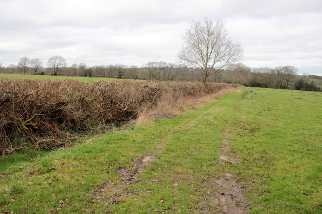
Image: © Nigel Mykura Taken: 12 Mar 2017
This hedgerow runs from the minor road from the Fosse Way to South Common, down towards Fordwater Farm which gets its name from where the Fosse Way (the A358) crosses the River Kit.
Images are licensed for reuse under creativecommons.org/licenses/by-sa/2.0
Image Location
Latitude
50.814522
Longitude
-2.978226