Prefab housing, Lancey Close
Introduction
The photograph on this page of Prefab housing, Lancey Close by Stephen Craven as part of the Geograph project.
The Geograph project started in 2005 with the aim of publishing, organising and preserving representative images for every square kilometre of Great Britain, Ireland and the Isle of Man.

There are currently over 7.5m images from over 14,400 individuals and you can help contribute to the project by visiting https://www.geograph.org.uk
Prefab housing, Lancey Close
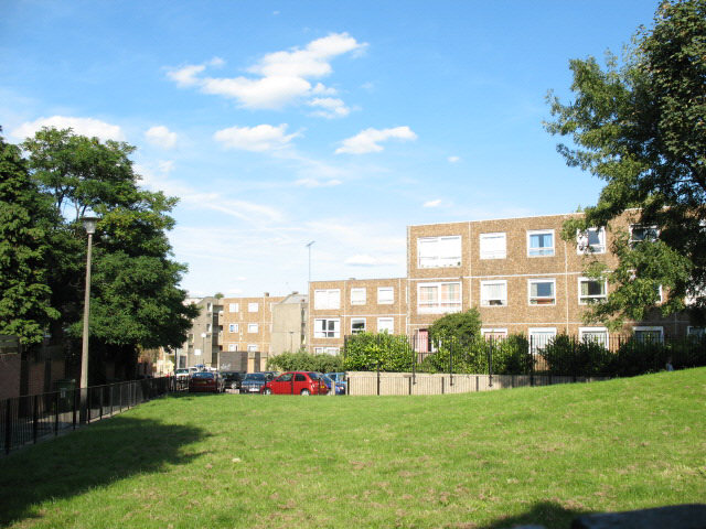
Image: © Stephen Craven Taken: 26 Aug 2007
Low-rise housing probably built at the same time (early 1960's) as the Morris Walk estate on the other side of the railway.
Images are licensed for reuse under creativecommons.org/licenses/by-sa/2.0
Image Location
Latitude
51.491831
Longitude
0.045166