Pedestrian subway, Woodhill
Introduction
The photograph on this page of Pedestrian subway, Woodhill by Stephen Craven as part of the Geograph project.
The Geograph project started in 2005 with the aim of publishing, organising and preserving representative images for every square kilometre of Great Britain, Ireland and the Isle of Man.

There are currently over 7.5m images from over 14,400 individuals and you can help contribute to the project by visiting https://www.geograph.org.uk
Pedestrian subway, Woodhill
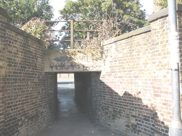
Image: © Stephen Craven Taken: 26 Aug 2007
This is where the road called Woodhill meets the North Kent railway line. A level crossing would have been obvious here, but there is only this pedestrian subway. According to a site visitor, it was shown on a large scale map in 1916. But it is not shown on modern street maps and is only known to locals.
Images are licensed for reuse under creativecommons.org/licenses/by-sa/2.0
Image Location
Latitude
51.491858
Longitude
0.048769