St Nicholas, Forest Hill: west end
Introduction
The photograph on this page of St Nicholas, Forest Hill: west end by Chris Brown as part of the Geograph project.
The Geograph project started in 2005 with the aim of publishing, organising and preserving representative images for every square kilometre of Great Britain, Ireland and the Isle of Man.

There are currently over 7.5m images from over 14,400 individuals and you can help contribute to the project by visiting https://www.geograph.org.uk
St Nicholas, Forest Hill: west end
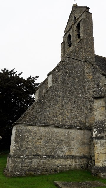
Image: © Chris Brown Taken: 6 Feb 2017
The ground falls sharply west of the tightly confined churchyard, which presumably resulted in subsidence and the need for these disproportionately massive buttresses.
Images are licensed for reuse under creativecommons.org/licenses/by-sa/2.0
Image Location
Latitude
51.763164
Longitude
-1.157801